Travel Guide of Col du Galibier (2642m) in France by Influencers and Travelers
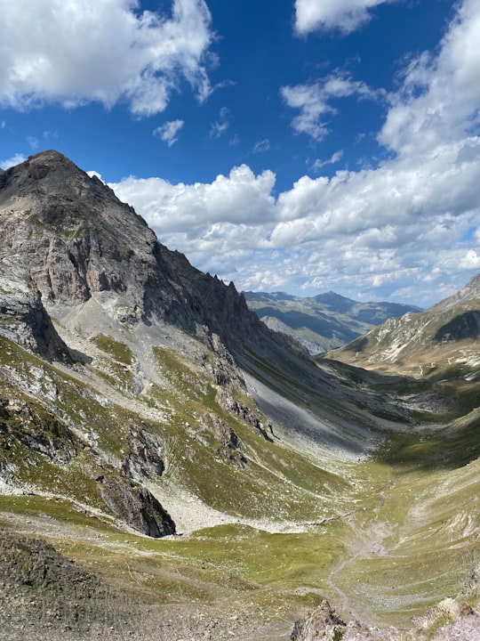
The Col du Galibier is a mountain pass in the southern region of the French Dauphiné Alps near Grenoble. It is the eighth highest paved road in the Alps, and recurrently the highest point of the Tour de France.
Download the Travel Map of France on Google Maps here
Pictures and Stories of Col du Galibier (2642m) from Influencers
2 pictures of Col du Galibier (2642m) from Jérémie ABITTAN, , and other travelers
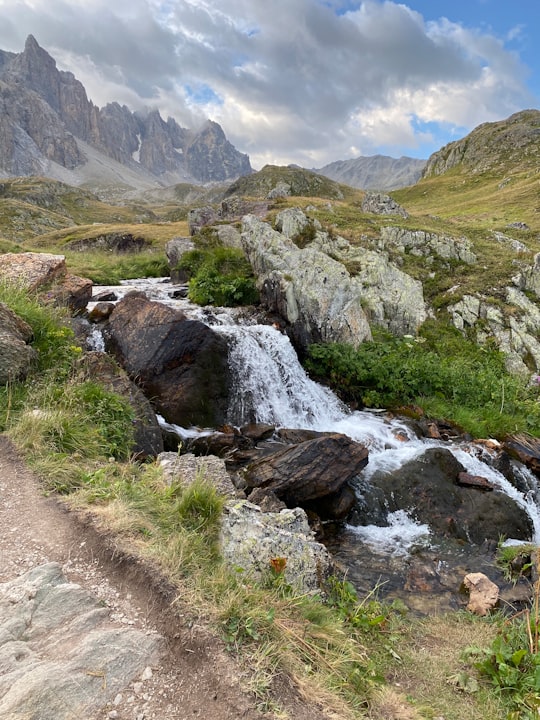
- Waterfall Grand Galibier, France. ...click to read more
- Experienced by @Jérémie ABITTAN | ©Unsplash
Plan your trip in Col du Galibier (2642m) with AI 🤖 🗺
Roadtrips.ai is a AI powered trip planner that you can use to generate a customized trip itinerary for any destination in France in just one clickJust write your activities preferences, budget and number of days travelling and our artificial intelligence will do the rest for you
👉 Use the AI Trip Planner
Book your Travel Experience at Col du Galibier (2642m)
Discover the best tours and activities around Col du Galibier (2642m), France and book your travel experience today with our booking partners
Map of Col du Galibier (2642m)
View Col du Galibier (2642m) on a map
Download On Google Maps 🗺️📲
More Travel spots to explore around Col du Galibier (2642m)
Click on the pictures to learn more about the places and to get directions
Discover more travel spots to explore around Col du Galibier (2642m)
⛰️ Highland spots 🌲 Nature reserve spotsWhere to Stay near Col du Galibier (2642m)
Discover the best hotels around Col du Galibier (2642m), France and book your stay today with our booking partner booking.com
Popular destinations near Col du Galibier (2642m)
Disover the best Instagram Spots around Col du Galibier (2642m) here